World1h ago
'Human-caused warming helped prime slope for deadly Nepal-Tibet flood'
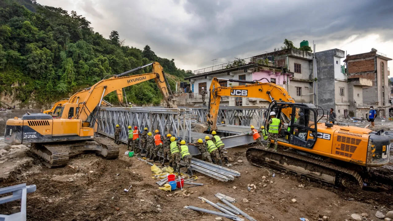
Researchers described it as a cascading disaster rather than conventional flood. Around 2 sq km of rock wall and glacier ice collapsed from Langtang Lirung at about 5,150 metres, plunging around 1,400 metres before turning into a debris flood. Water, rock, ice and sediment then travelled around 22km to Rasuwagadhi in seven minutes, leaving downstream settlements with almost no warning.
This story was originally reported by Times of India — Top Stories. As an automated real-time news aggregator, NewsToolBar provides multi-perspective indexing and AI summarization while directing full readership directly to primary publisher sources.
ALSO REPORTED BY OTHER SOURCES (3)
'No doubt' of climate change role in deadly China-Nepal flood: scientists
FM Nirmala Sitharaman meets Nepalese counterpart Wagle, discusses flood recovery
Nepal floods among 'most challenging' disasters: WFP
Community Sentiment & Coverage Reliability
Crowd-sourced evaluation based on verified reader feedback
Rate Coverage Tone:
No reader evaluations recorded yet — be the first to rate the coverage tone above!
Quick Story Reactions:
Community Discussion (0)
Join the Community Discussion
Sign in or create a free reader account to post comments, upvote analysis, and share your perspective.