World1h ago
From drone maps to property cards: How SVAMITVA is changing rural land records
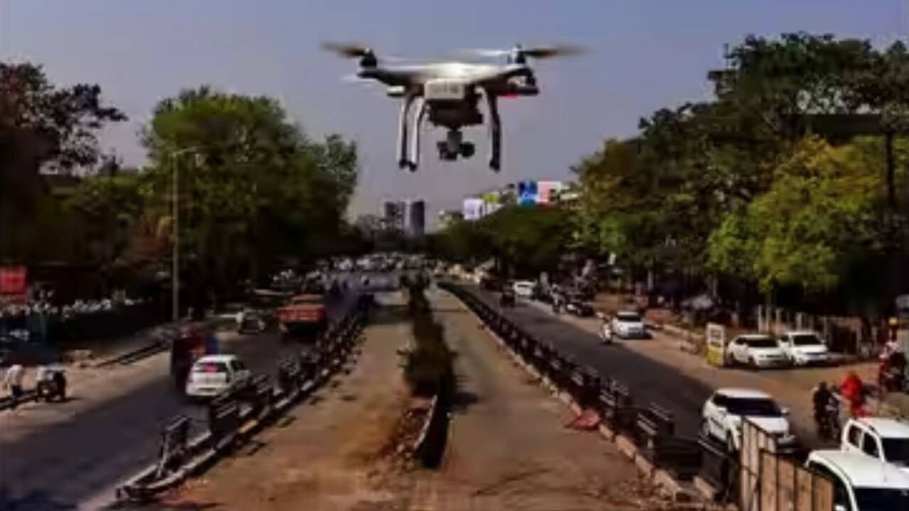
The SVAMITVA program leverages drone technology to accurately map rural lands, providing property cards that affirm land ownership. This initiative minimizes disputes over property claims and curbs unauthorized building practices in villages. Additionally, it simplifies the process of obtaining bank loans by allowing property to be used as collateral, while Gram Panchayats benefit from enhanced geospatial information for improved regional development.
This story was originally reported by Times of India — Top Stories. As an automated real-time news aggregator, NewsToolBar provides multi-perspective indexing and AI summarization while directing full readership directly to primary publisher sources.
ALSO REPORTED BY OTHER SOURCES (2)
Hongkong Land eyes billion-dollar property deals in Japan
Senators say scrapping specialized Army drone unit ignored the fact that ‘the character of warfare is changing’
Community Sentiment & Coverage Reliability
Crowd-sourced evaluation based on verified reader feedback
Rate Coverage Tone:
No reader evaluations recorded yet — be the first to rate the coverage tone above!
Quick Story Reactions:
Community Discussion (0)
Join the Community Discussion
Sign in or create a free reader account to post comments, upvote analysis, and share your perspective.